Carly Peltier
Glaciers of Southern Chile as Archives of Past Climate
-
Project Proposal
In order to understand the relationship between Northern and Southern Hemisphere ice ages and to evaluate the explanatory power of the various potential climate drivers (like temperature and precipitation), high-precision South American glacial chronologies are needed. Thus, my project will focus on reconstructing the timing and structure of the last glacial cycle of the Patagonian Ice Sheet in Southern Chile.This location will allow me to explore sites that contain rich records of past glacial advance in order to address one of the gaps in our understanding of the Earth’s climate system. Moreover, the sites I will analyze will allow me to test whether there was a consistent climate pattern over the region (central vs. southern Patagonia), and ultimately to be able match the glacial chronologies with potential climate drivers.
This project uses three techniques to help us better understand the fundamentals of ice ages: surface exposure dating to tell us when the ice sheet was stable in the past, geomorphic mapping to tell us where these maxima occurred, and quantitative modeling to tell us why and how the ice sheet advanced. As part of the Fulbright, I hope to collaborate with professors at the Pontificia Universidad Católica de Chile to learn field and sampling techniques to expand the glacier record in the valleys. I plan to achieve the following scientific research: field work and sampling for cosmogenic exposure dating, mapping of Baño Nuevo, modeling the ice sheet, and comparing this glacial record with lake core records.
The glaciers in Patagonia are one of the largest contributors per unit area to global sea level rise, so it’s critical that we understand why and how these glaciers retreat. This project could provide powerful insight into the climate history of the region.
Final Report
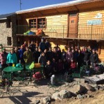
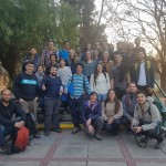
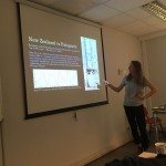
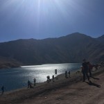
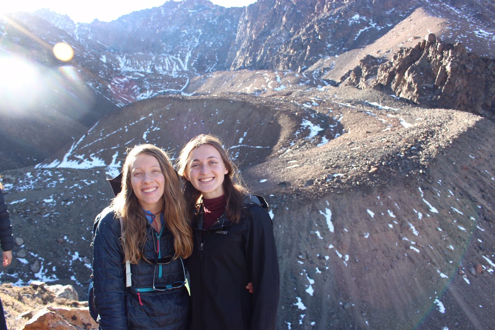
My research was done through field work and academic classes. I took a research class at my university and I took a glaciology class in Mendoza. I also worked with a Phd co author on a paper about the geomorphic map of the Strait of Magellan he created. In order to collect data, I organized and led 3 field campaigns to take rock samples to date the timing of glaciation at the Strait of Magellan and Ñireguao, two glacial valleys created by the former Patagonian Ice Sheet. Additionally, I joined a group of scientists to extract lake sediment cores from a lake in Chiloe. I was able to create a geomorphic map of Ñireguao to strengthen and complement my geochronology. At the end, I presented my research at the Chilean geology conference.
-
Proposal:
-
-